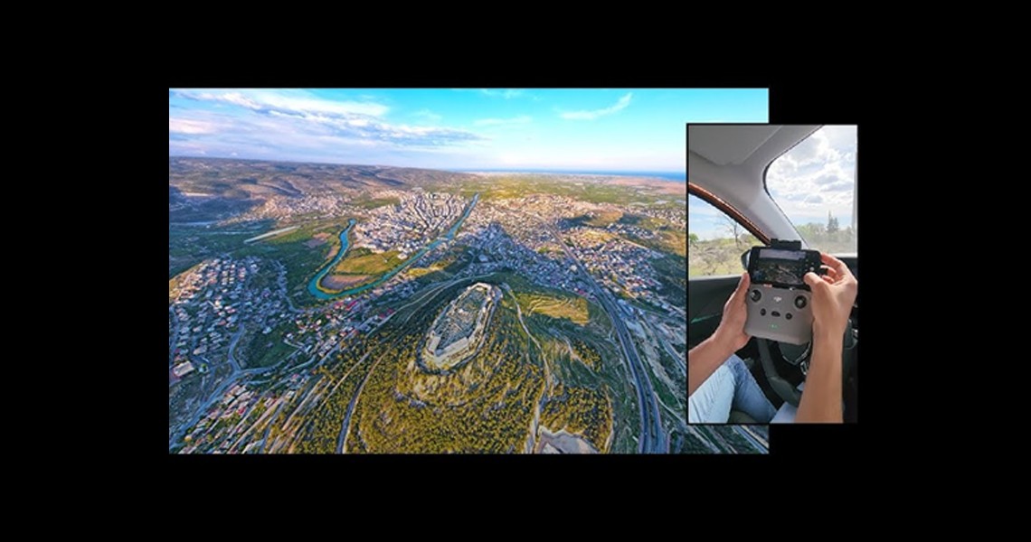
The Base Mapping Work carried out within the borders of Mersin province was carried out using Unmanned Aerial Vehicle (UAV) technology. Within the scope of this project, high-resolution aerial photographs were taken with modern photogrammetric methods and detailed mapping and terrain analyses of the region were carried out. This work, which we undertook as Ölçek Mühendislik under the employer of Yüksel Proje, provided high accuracy and efficiency in map production and geographic data collection processes and allowed the accurate detection of existing topographic structures in the region. The project aimed to obtain the most up-to-date and reliable data by using advanced UAV systems and photogrammetric software.